 Backroad Maps
Backroad Maps Facebook ad: “Born for the Backroads”
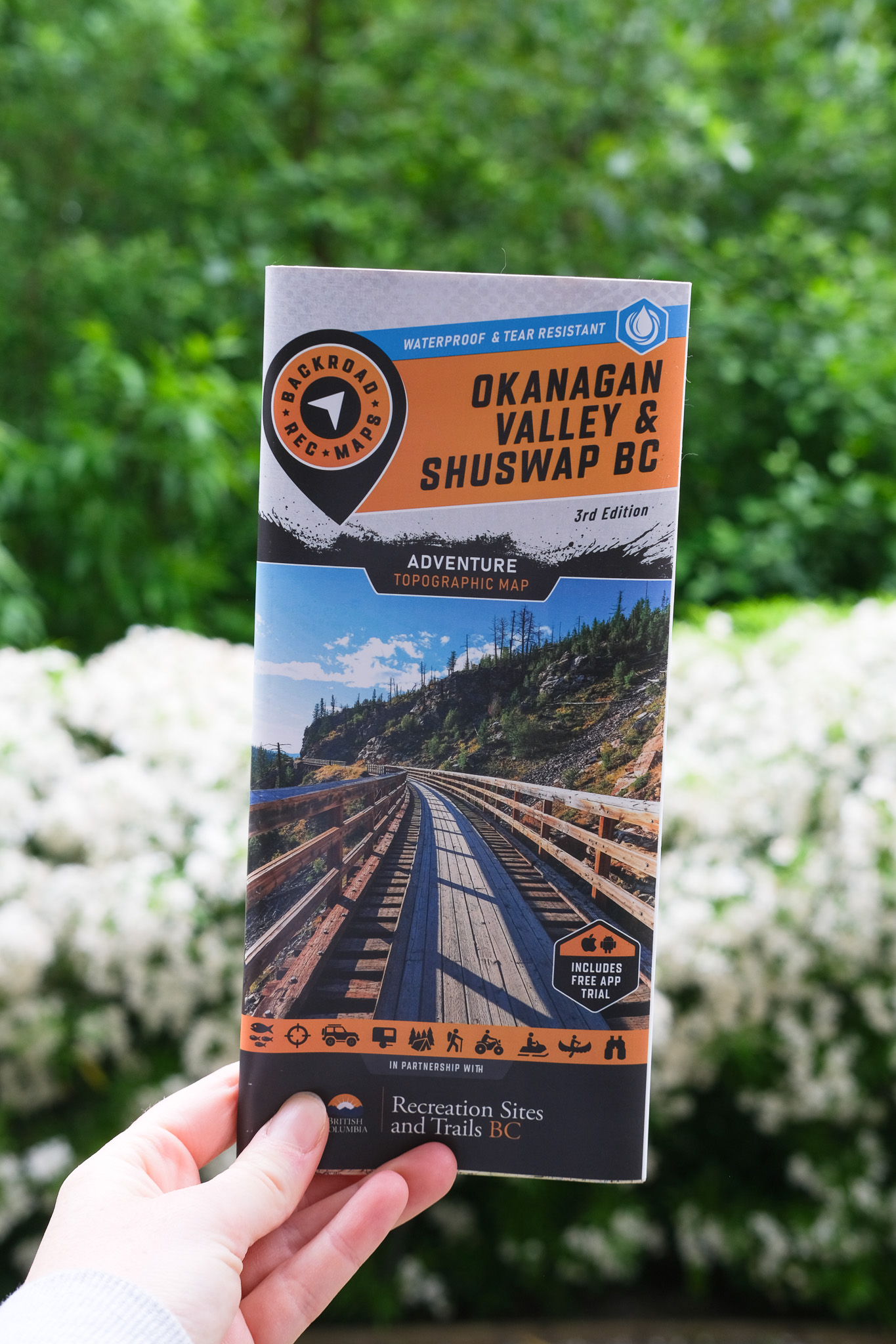
Ran for 48 days, from January 20 to March 9, 2026, the last day Crush saw it.
Run by Backroad Maps on Facebook. Crush is not the advertiser and does not verify its claims. See this ad in Meta's Ad Library(opens in a new tab)
Want an ad like this for your product?
Crush makes new ad images for your product from this ad: your logo, your product photo, your offer.
Trials from $19.95 USD, then $79.95 USD a month. Cancel anytime.
About this ad
- Meta Ad Library ID
- 899450366359847
- Platforms
- Facebook, Instagram, Audience Network, Messenger and Threads
- Relaunches
- 0
Ad text
NEW RELEASE From the sun-soaked ridges of the South Okanagan to the snow-laden slopes of the Monashees, this map is made for those who don’t just pass through—they truly dig in. 💦 Durable Beyond Limits: Waterproof and tear-resistant to withstand rain, mud, snow, and the toughest adventures. 🔎 Rich in Detail: Includes trails, logging roads, stocked lakes, campgrounds, WMUs, and prime fishing spots. 🧭 GPS-Compatible: Seamlessly integrates with GPS devices and mobile apps for reliable navigation. MAP COVERAGE From Adams Lake to Armstrong, Enderby to Grand Forks, and Kelowna to Naramata, this map spans Oliver, Osoyoos, Penticton, Salmon Arm, Seymour Arm, Sicamous, Vernon, and all the rugged backroads and untamed terrain connecting them.
Where the ad sends people
backroadmapbooks.com
Born for the Backroads
Designed with real use in mind and packed with intricate details, it’s your trusted companion for fishing alpine lakes, paddling pristine rivers, discovering remote recreation sites, or tearing through ATV and sled trails. Whether you’re hunting, camping, fishing, or blazing the backroads, this ...
Learn more: backroadmapbooks.com(opens in a new tab)